Jeju Biennale D100 Workshop:
Exploring Drifting in Daily Life through Marine Debris
Jeju Biennale D-100 pre-workshop <The water we shared>
Exploring Drifting in Daily Life through Marine Debris
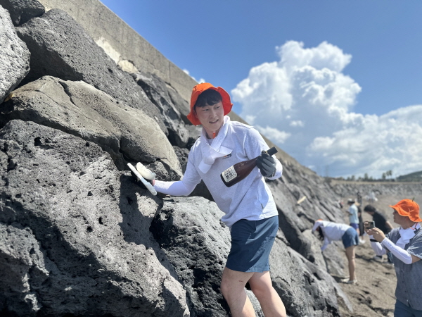
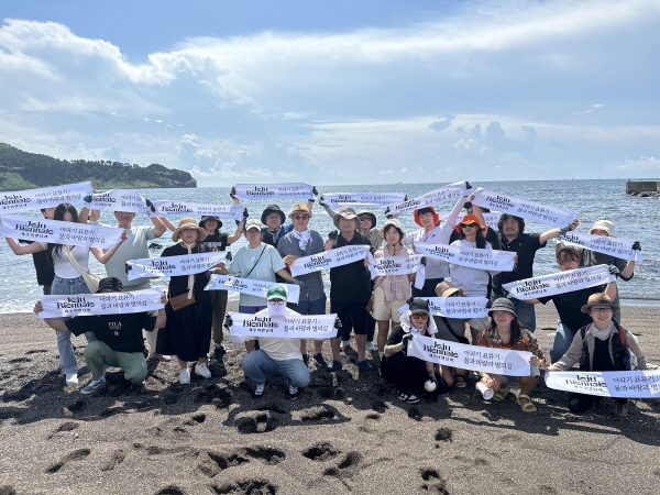
On the 17th, the 4th Jeju Biennale hosted a pre-event workshop titled "Community Mapping with Dr. Wan-Soo Lim <The water we shared> at the coastal area of Hwanhaepyeong Peace Park in Daejeong-eup, Seogwipo-si, Jeju-do. This workshop, held 100 days before the opening of the 2024 4th Jeju Biennale, is a community project that links the exhibition's theme, "drift," with environmental issues such as marine debris and algae in Jeju.
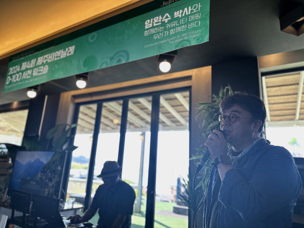
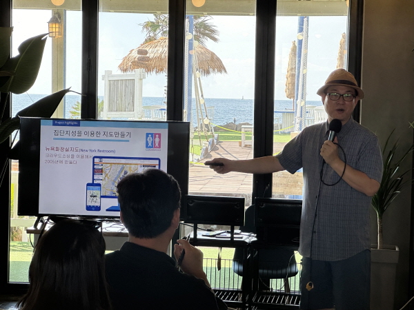
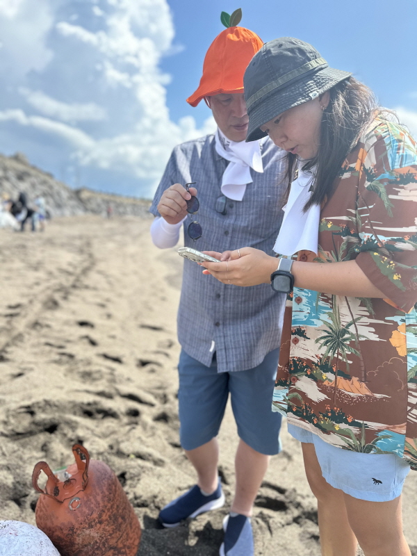
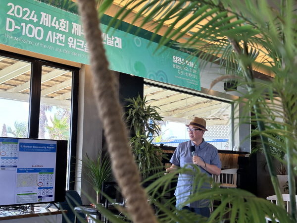
community mapping is a term combining "community," meaning local society, and "mapping," meaning the creation of maps. It refers to a participatory map created by gathering information on a specific topic directly from the field. The workshop was led by Dr. Wan-Soo Lim, a professor at Meharry Medical College in the United States, who is a renowned expert in community mapping and a participating artist in the research section of the 4th Jeju Biennale. During the event, participants who registered in advance engaged in a plogging activity, picking up trash while collecting location information and data using smartphones.
The workshop's process and outcomes will be exhibited at the 4th Jeju Biennale The Drift of Apagi: The Way of Water, Wind, and Stars. This workshop holds significant meaning as it connects the exhibition's theme of "drift" with environmental issues, with participation from local environmental groups, artists, and residents. Dr. Wan-Soo Lim, a participating artist in the 4th Jeju Biennale, stated, "Community mapping is not just about creating maps, but about activities that can change people and society. When people who resonate with this purpose contribute to the map, its impact is beyond imagination. Through the marine debris that has drifted ashore, I hope to reflect the exhibition's theme of “Drift” on environmental issues and, by showcasing it at the Biennale with the participants, bring about meaningful change in the community."
임완수 박사 I Wan-Soo Lim
Dr. Wan-Soo Lim began his research on Public Participation Geographic Information Systems (PPGIS) in the early 1990s, using Geographic Information Systems (GIS) to encourage community involvement in local governance. His notable projects include the 2005 New York City Toilet Map project and the gas station mapping during Hurricane Sandy in 2012, which provided vital information to the public and garnered support and collaboration from the U.S. Federal Emergency Management Agency (FEMA), Google, the City of New York, and the White House. In 2016, he won a KRW 500 million prize in Google's Social Impact Challenge for his BF.ZIDO(*BF: barrier-free) project, which he used to launch an accessibility community mapping project for people with disabilities. Over 300 environmental agencies in the U.S. have used Dr. Lim's environmental mapping portal, IM (Interactive Maps). In Korea, he has led around 500 community mapping projects, including maps for MERS, COVID-19 masks, heavy snowfall, and earthquakes, contributing to the establishment and spread of community mapping through various citizen-participation map-making initiatives.


